Services / Real Estate Visuals
The surroundings also
sell the property.
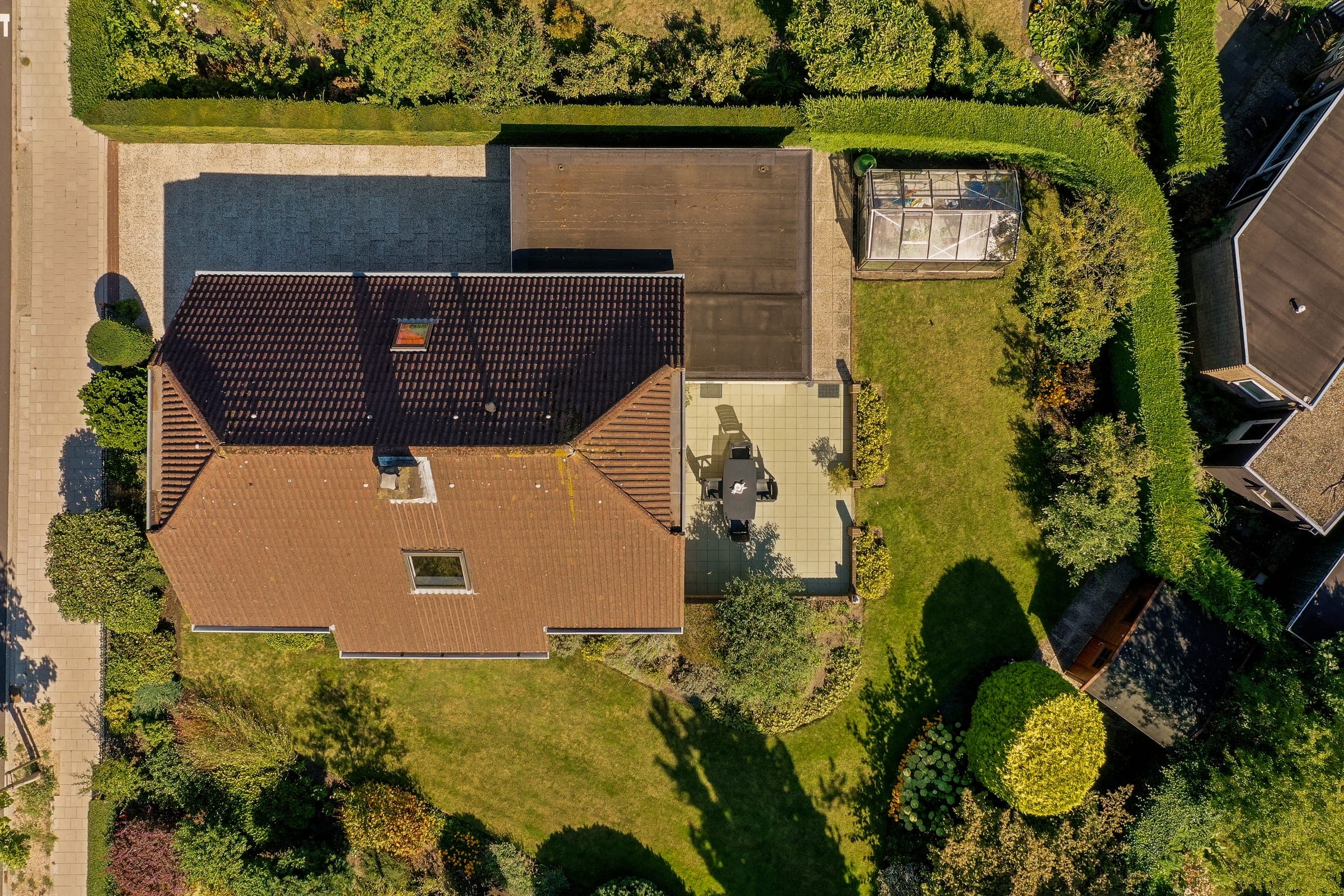
Aerial images and video that show the location, surroundings and true proportions of every property from a unique perspective.
Exclusivity is measured in square meters, but it sells through context.
A render or a street-level photo can't convey that the beach is a three-minute walk away, or the real size of a plot surrounded by pines.
We use cinema-grade drones to mentally place the buyer in their future surroundings. We don't just show the house; we show its place in the world.
Increase in web visit retention for properties with aerial video.
Real perception of boundaries, plot size and the property's geographic location.
Exp. Comp: +0.3
Gimbal Pitch: -15°
Operation Architecture
Designed to fly with purpose.
100% legal and insured flight
AESA-certified operators with aviation liability insurance. We handle every permit needed to fly in urban environments and CTR airspace, so book your flight at least 5 days in advance to make sure paperwork is processed in time.
HDR & cinema hybrid
We deliver both HDR-edited photography for real estate portals and video clips ready to be color-graded alongside the rest of the material.
Context and views
We simulate future-floor views on new-build developments and show the real shape of large plots and their distance to points of interest.
Seamless integration
Aerial material is color-graded and matched precisely with ground and interior footage, creating one fluid, coherent audiovisual piece.
Frequently asked before you book us.
Yes. We operate as an AESA-certified pilot, with aviation liability insurance, handling the necessary permits for every flight, including urban areas and controlled airspace (CTR).
Elevate the perspective.
Request availability and a feasibility assessment for the drone coverage of your next exclusive listing.